
I have decided to declare October 22 to be the official i.E. cartographer appreciation day. I love maps. I like knowing where I'm at and where I'm going. Just imagine a world without maps. Really...try it. Its scary, isn't it?
Tracking the Electoral College would be next to impossible-- and Chuck Todd would probably be out of work.
So we will celebrate this new holiday on the 4th Wednesday in October from now on. If you will, please send us anything you would like to write about maps and the people that make them and we can put them up on that magical day. I propose (and this will have to have board approval) that we suspend all political chatter on this day. I understand that's 13 days before the most important election since the Jefferson-Adams match up of 1800 (1864 aside- of course), but to hell with it, cartographers have waited long enough, and I refuse to sit idly by while people take them and their work for granted. This must stop, and it stops this October the twenty-second.
Got any good stories involving a map or a geography class? Send 'em our way!
Please spread the word...not for us, but for the map givers everywhere that make our lives better. And please, feel free to participate on your blog as well!
Wednesday, October 8, 2008
A Side Note: Cartographer Appreciation Day- 10/22
Subscribe to:
Post Comments (Atom)


7 comments:
The best maps to me are the ones that break down county by county how each state voted. A prior election compared with the projection for today would be interesting.
I propose ... that we suspend all political chatter on this day
what about political maps? can we chatter about political maps? political boundries? and what about political topography?
Comrade- Look for that on the 22!
Puddy- I think political maps should be fine. Can't really top you there. Yer clever.
Finally, recognition for cartography. You just wrote my post for that day. Saint Ronnie bless you, sir.
Many moons ago, when I was young - National Geographic always had huge maps (removeable) in several issues a year. I catalogued them and would look at them often - unfortunately all were lost in a house fire in '84. Maps are a great learning tool (oh btw Palin could use one or two)!
I've always been a fan of elevation maps. There's a strange comfort in knowing how close I am to sea level and they come in handy when trekking through the wild or considering whether or not you should consider getting flood insurance.
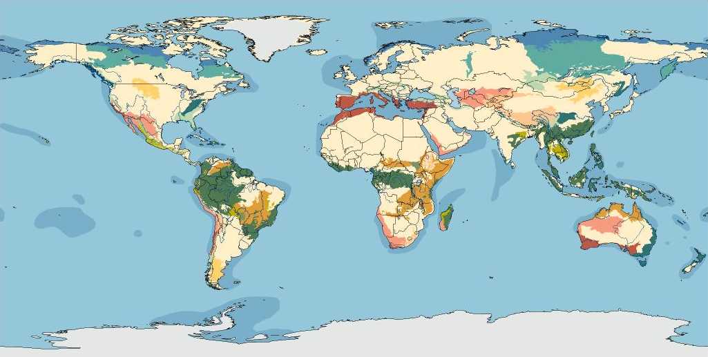
here's a cool map...
http://www.economist.com/vote2008/
Post a Comment